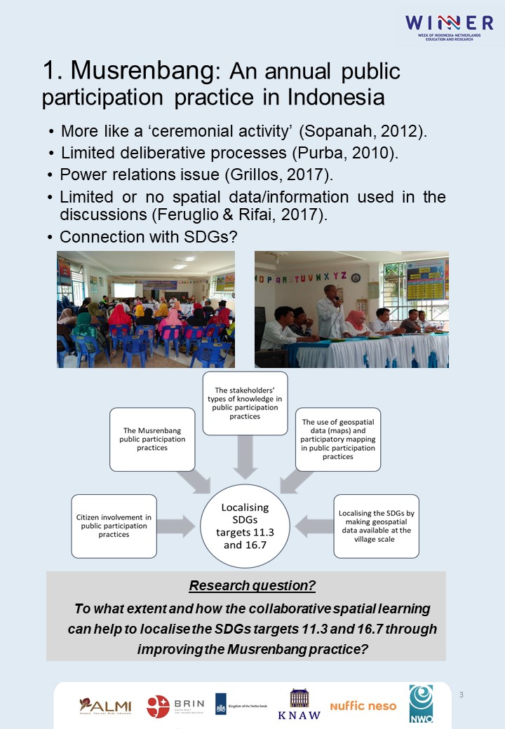
Localising the Sustainable Development Goals (SDGs) is crucial for their achievement by 2030. Being a global framework, the SDGs targets and indicators need to be conceptualised and contextualised to be applicable in the local context. This research explores the localisation of SDGs targets 11.3 and 16.7 for improved public participation by studying the annual public participation practice in Indonesia, called Musrenbang. Despite its essential role, the Musrenbang meeting is often conducted poorly. Diverse types of knowledge of the stakeholders are not utilised optimally, affecting the communication and collaboration among them. The participatory processes often fail to stimulate the stakeholders to express their knowledge explicitly and limit its integration among stakeholders. Although discussions about particular locations or places are common in public participation practices, spatial knowledge, i.e. the knowledge of how the individuals, social groups, and institutions perceive particular places into their characteristics and meanings, is often underutilised in the Musrenbang practices.<br />
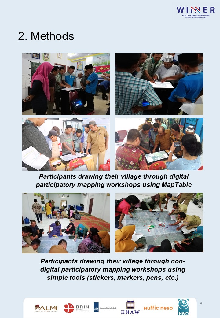
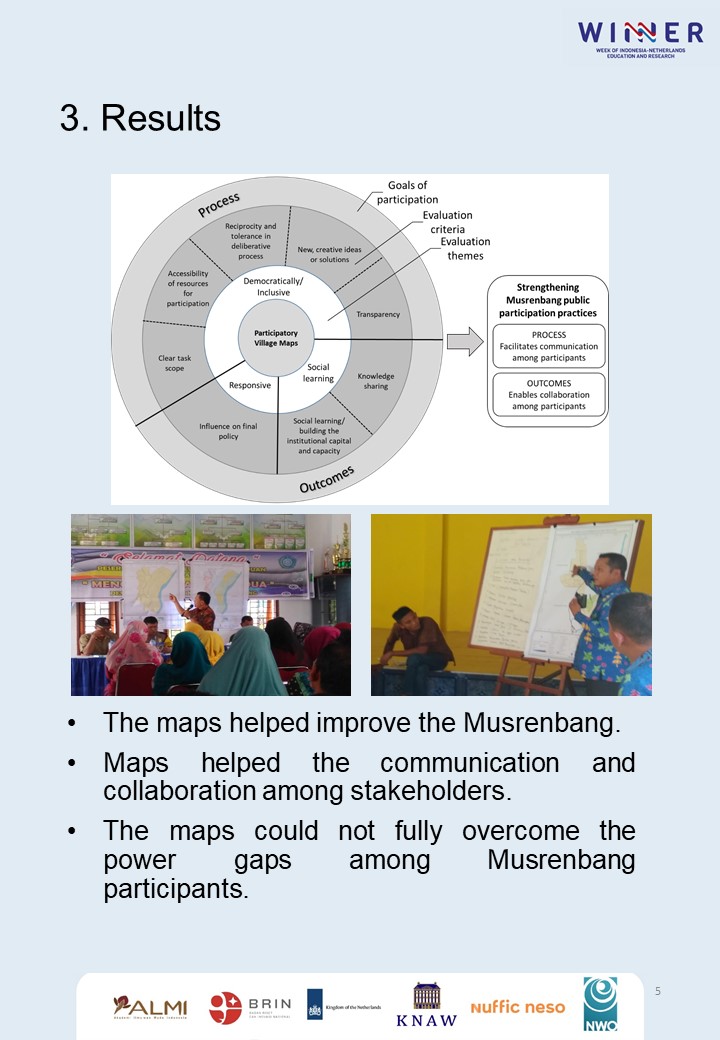
Five villages in Deli Serdang district, Indonesia, were divided into intervention (three villages) and control groups (two villages). In the intervention group, the villages participated in a digital or non-digital participatory mapping workshop to produce their village maps. In the control group, there were no mapping workshops to create village maps. Then we evaluated how the participatory village maps were used in the Musrenbang. The findings showed that the utilisation of maps has strengthened the Musrenbang implementation. The maps facilitated the communication among participants by providing clear task scope of the objects being planned, geospatial data as resources for participation, transparency, including a dynamic deliberative process. The maps also enabled participants to collaborate in achieving common goals in Musrenbang. Knowledge sharing was evident and various levels of social learning were also apparent as some participants started to critically examine their land-use management that might endanger the villagers' main livelihood.